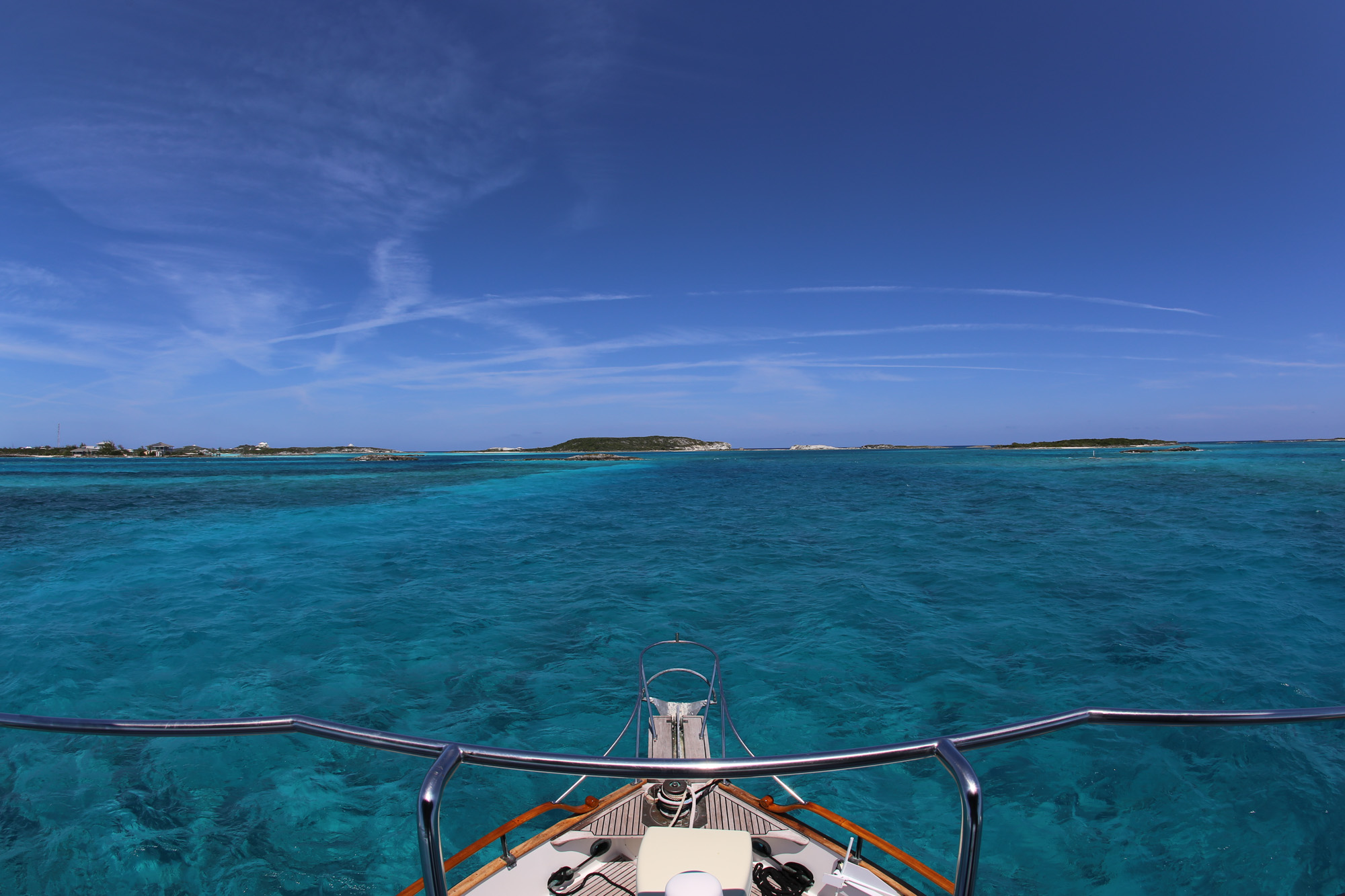
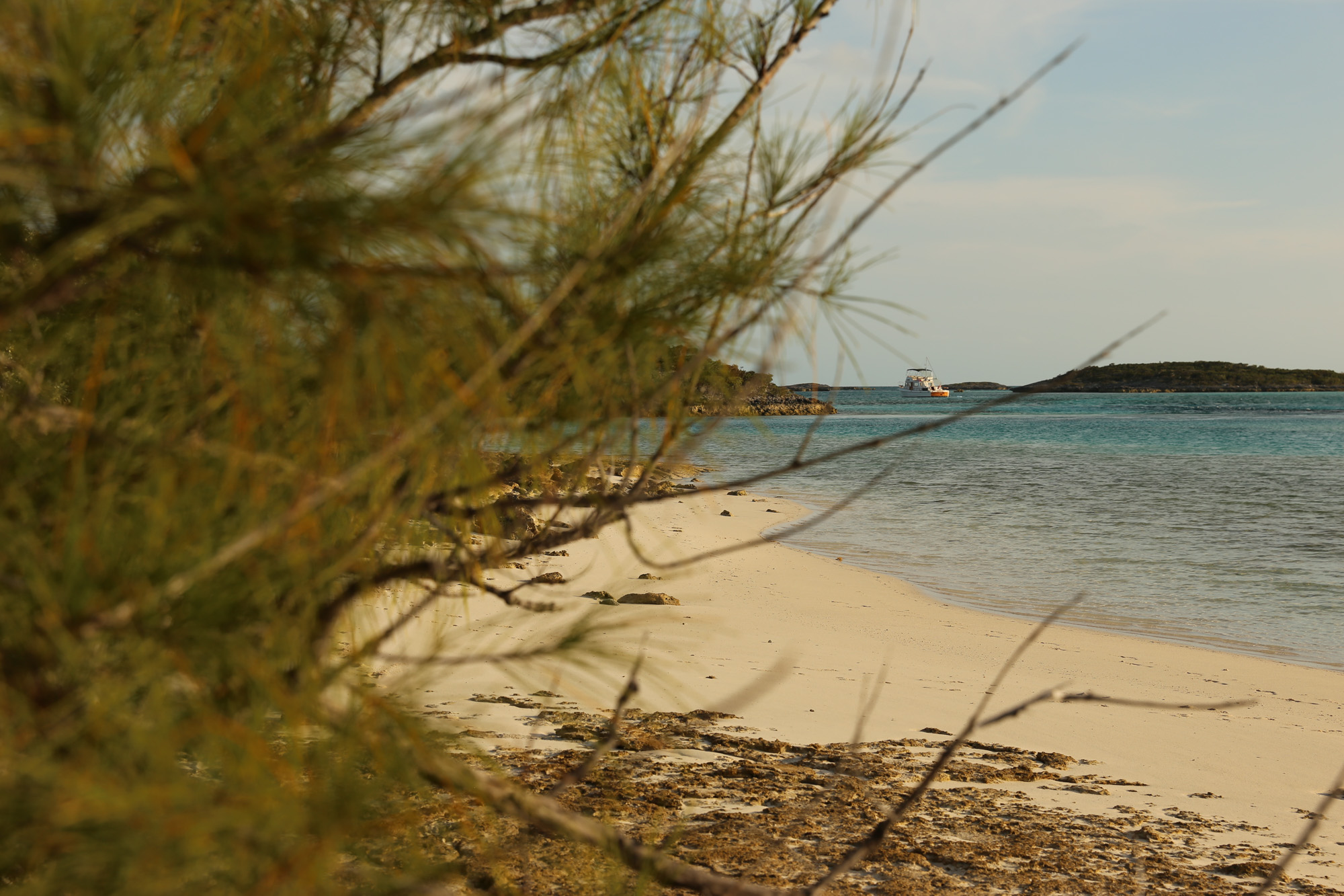
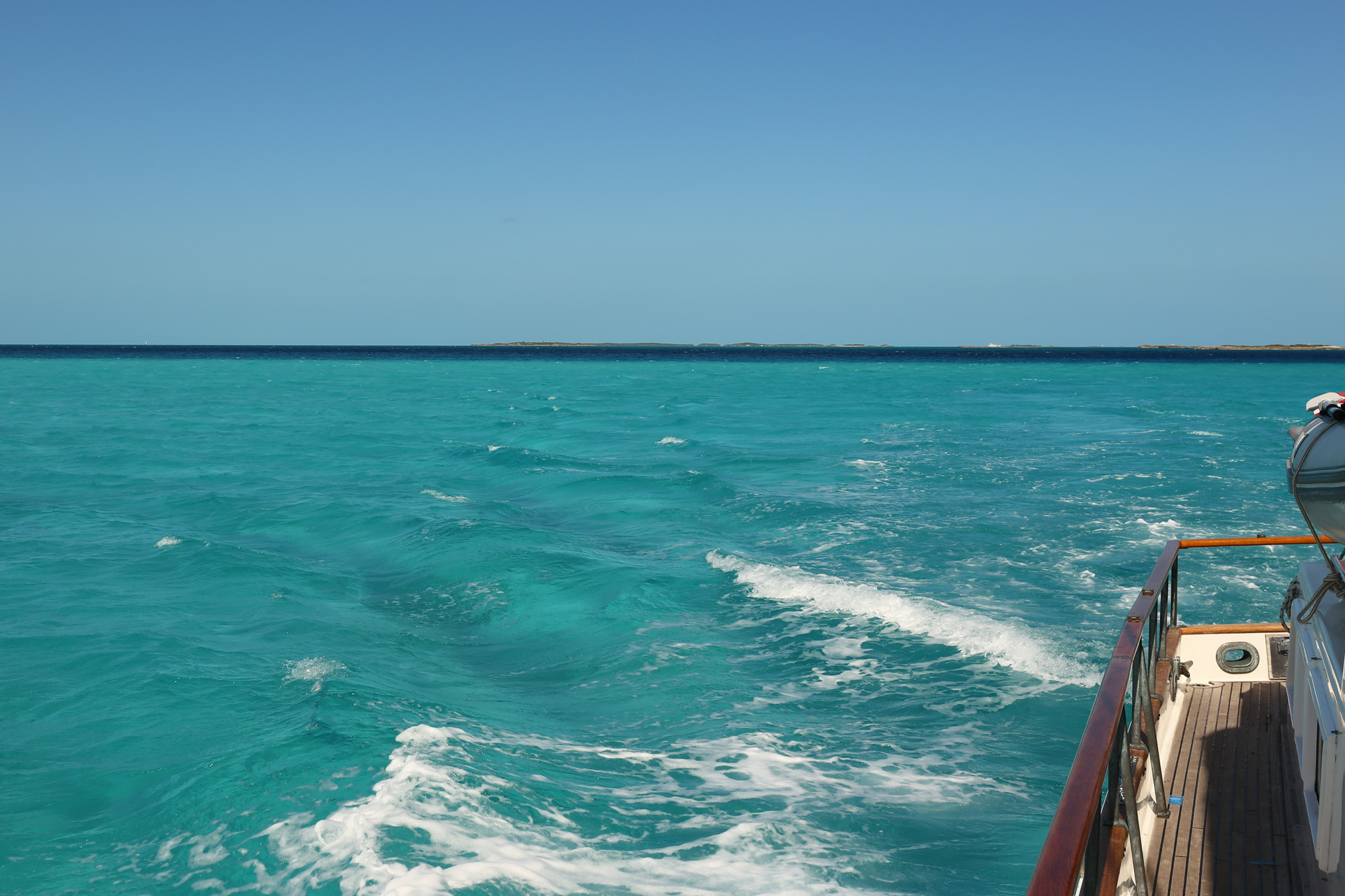
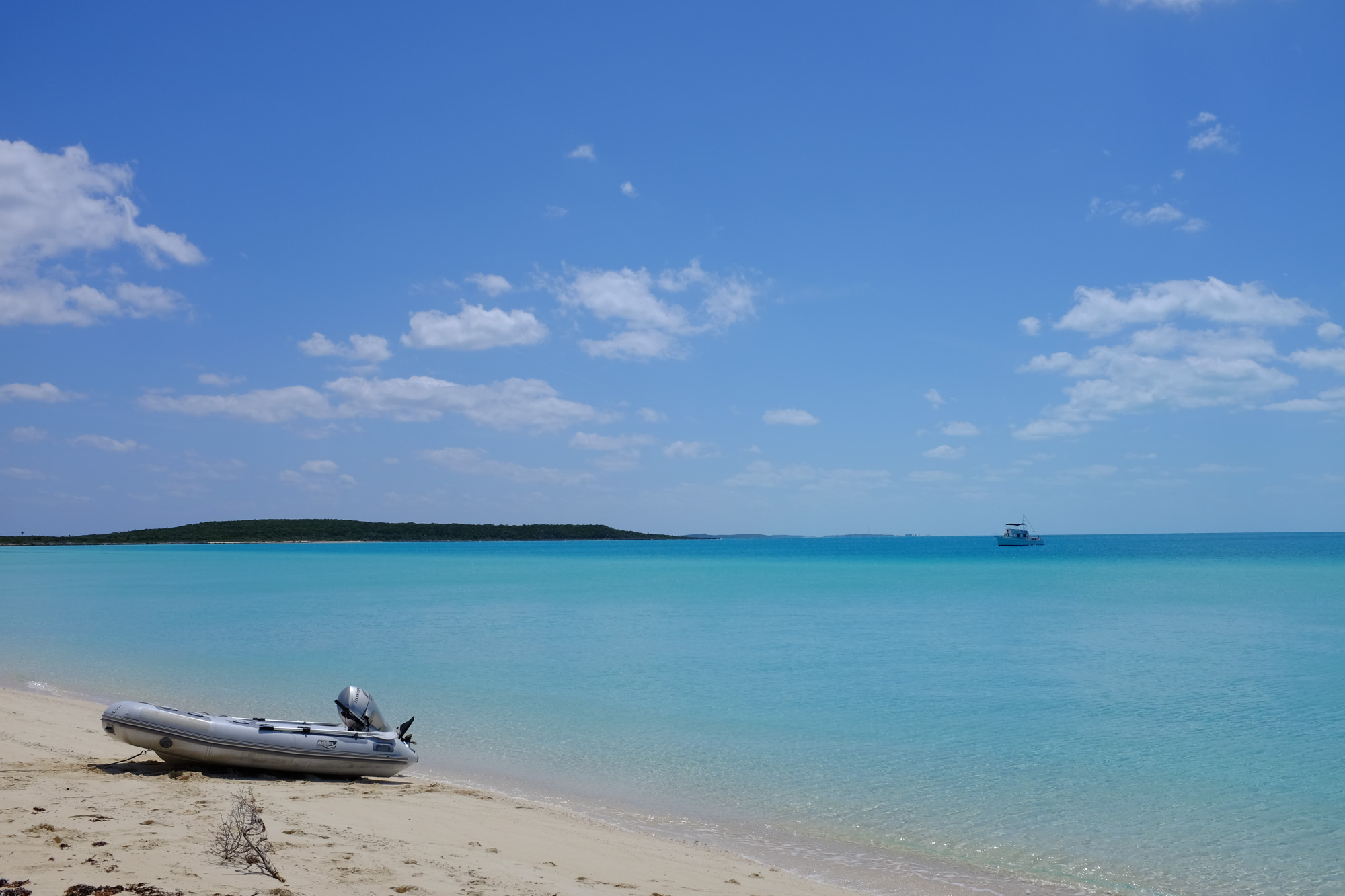
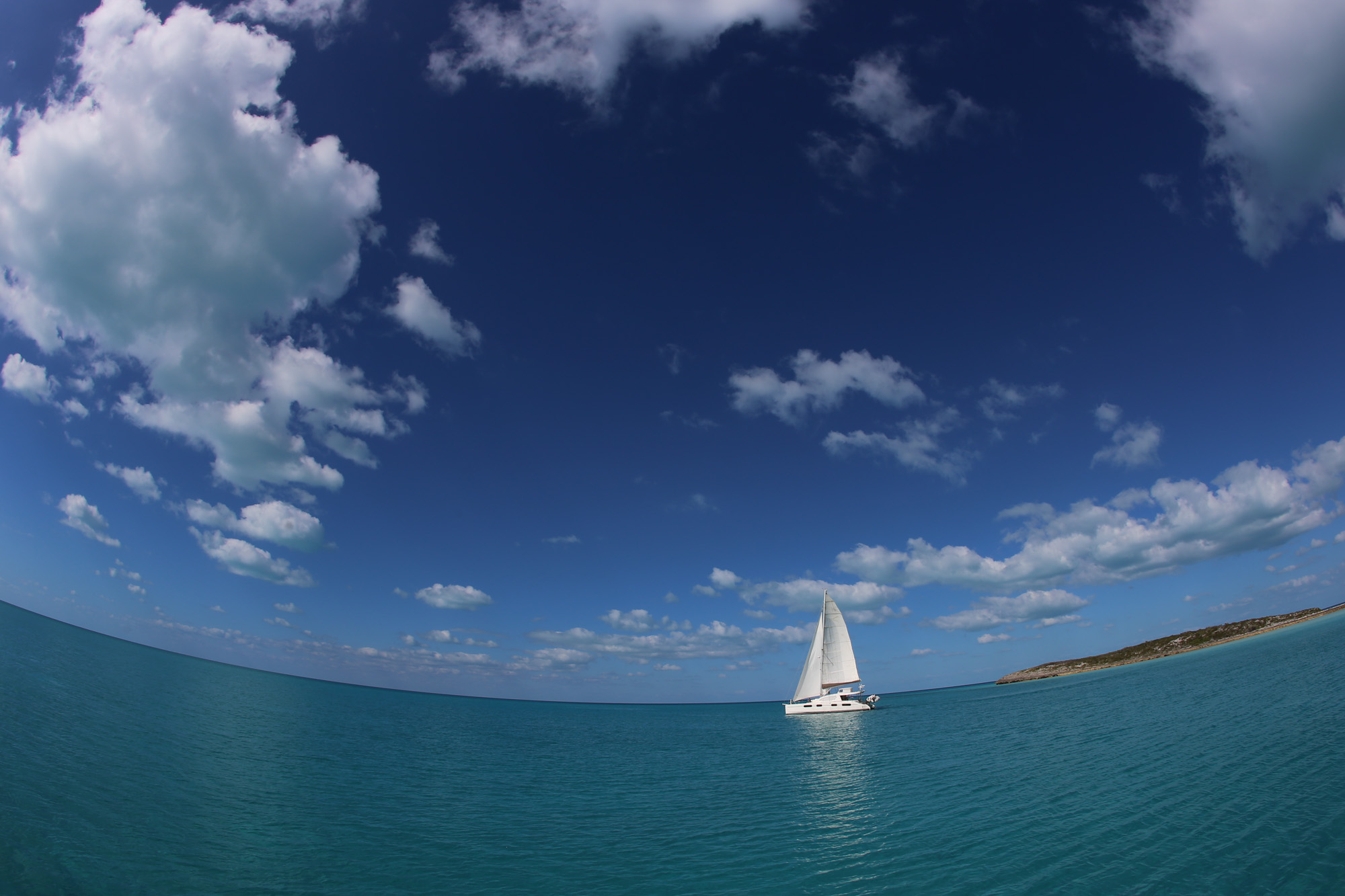
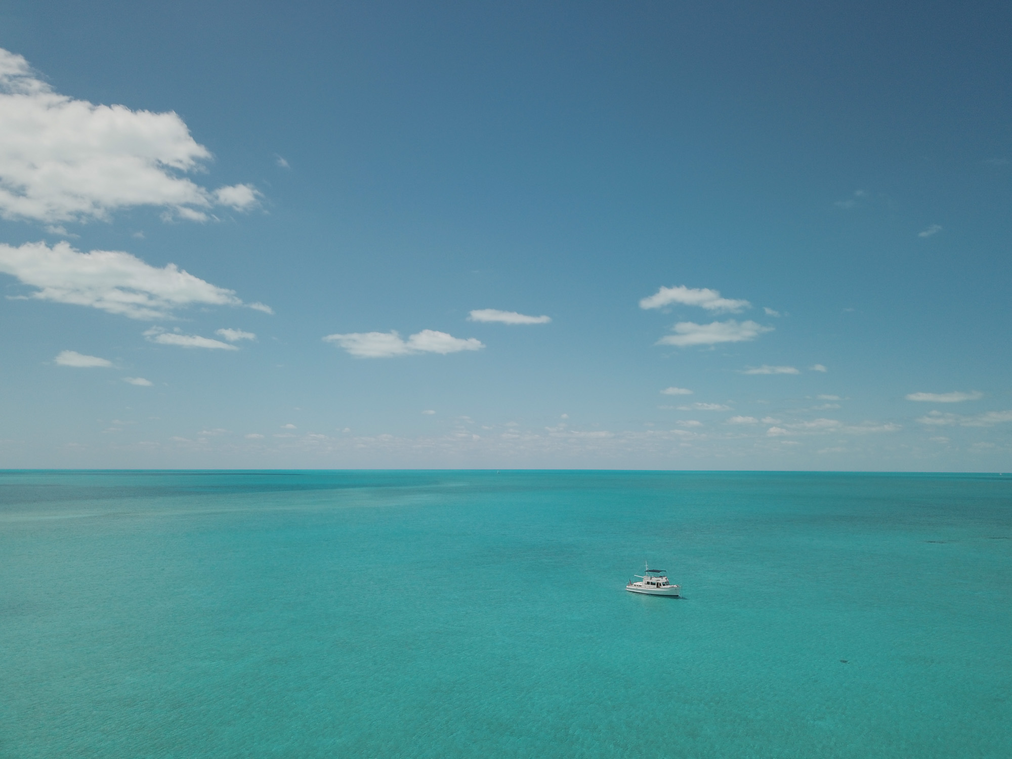
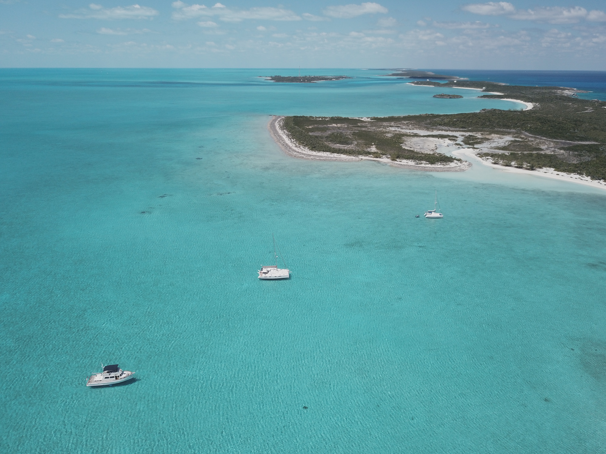
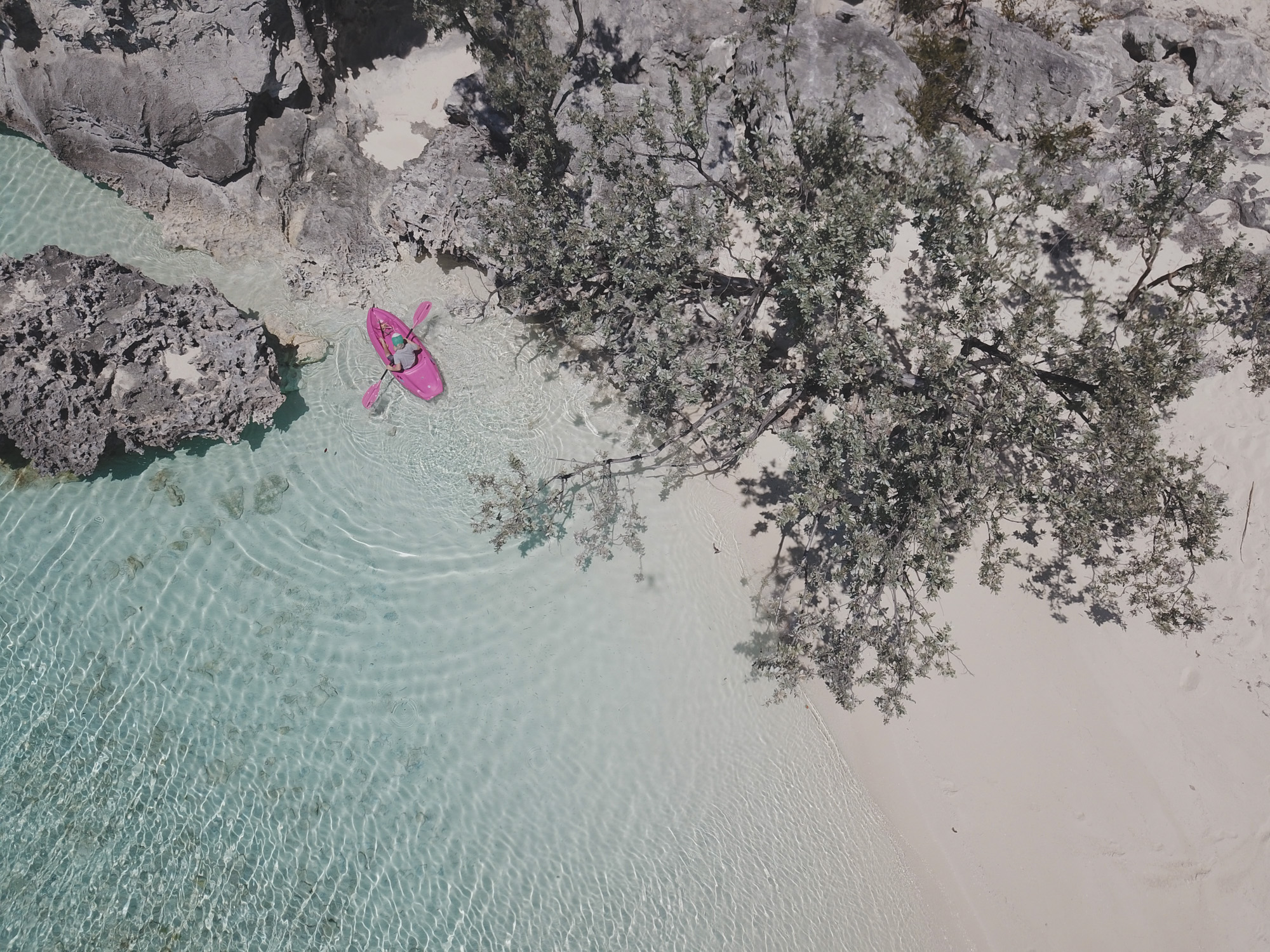
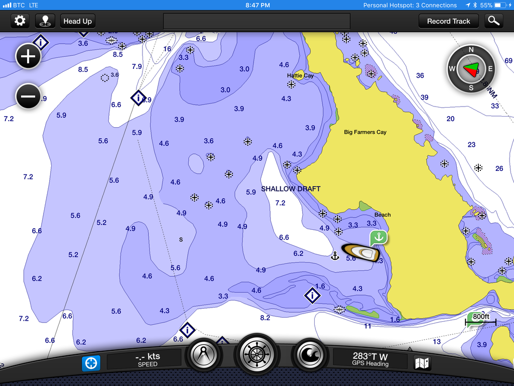
You never truly understand how many different shades of blue there are, until you cruise the Bahamas. Wind did a little clocking this day, and forced us out of where we had been anchored. We took off for a few miles to hide around the southeast side of Staniel Cay—an area we’d never been. The route in was a little sketchy, with some pretty serious threading of needles between rocks in very shallow water, but even with the wind on the water it was still easy enough to read the bottom and follow the charts in.
We’ve been using Garmin charts throughout the Bahamas. We just have an iPad with the free app, and a $50 set of charts that cover basically everywhere in the Caribbean. I’m still blown away by the thought of how much money we poured into electronic charts years ago. Now for next to nothing we can cruise and be 99% confident in the accuracy of these charts. It’s amazing. I also have Navionics charts, but they are absolutely horrendous here in the Bahamas. The islands here would be littered with boats if everyone was following them around.
Hero break.
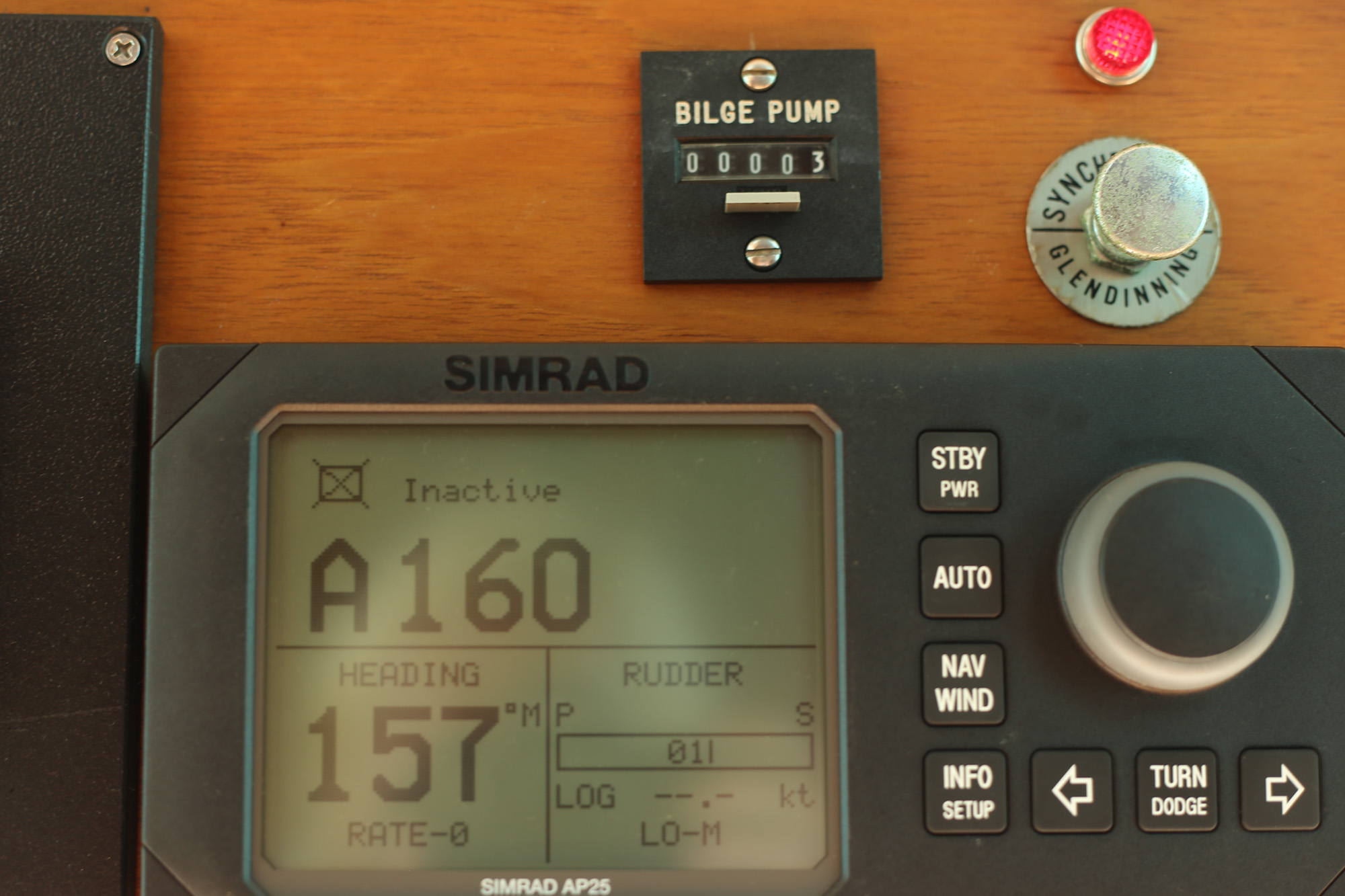
A few of the wonderful little gadgets on this boat that have worked for so many years. Bilge pump counter. Who knew this could be such a nice addition? If the bilge pump goes off, this counts it. So far, at least, the boat doesn’t take on any water. Those clicks are from the watermaker—when I first fire it up I have the fresh water shoot in the bilge for a few seconds before switching it over to the water tanks.
The Glendinning Synchronizer is awesome. While underway I pull the switch out and the port engine RPMs adjust to match the starboard. If I shift into neutral it disconnects. It’s a magic contraption that lives on the ceiling in the engine room and will never, ever, ever, be fiddled with.
Autopilot. I’m pushing my luck here, but through all of our boats we’ve never had a problem with our autopilots. This Simrad works just fine, and I have no idea how or why it could do so for all these years.
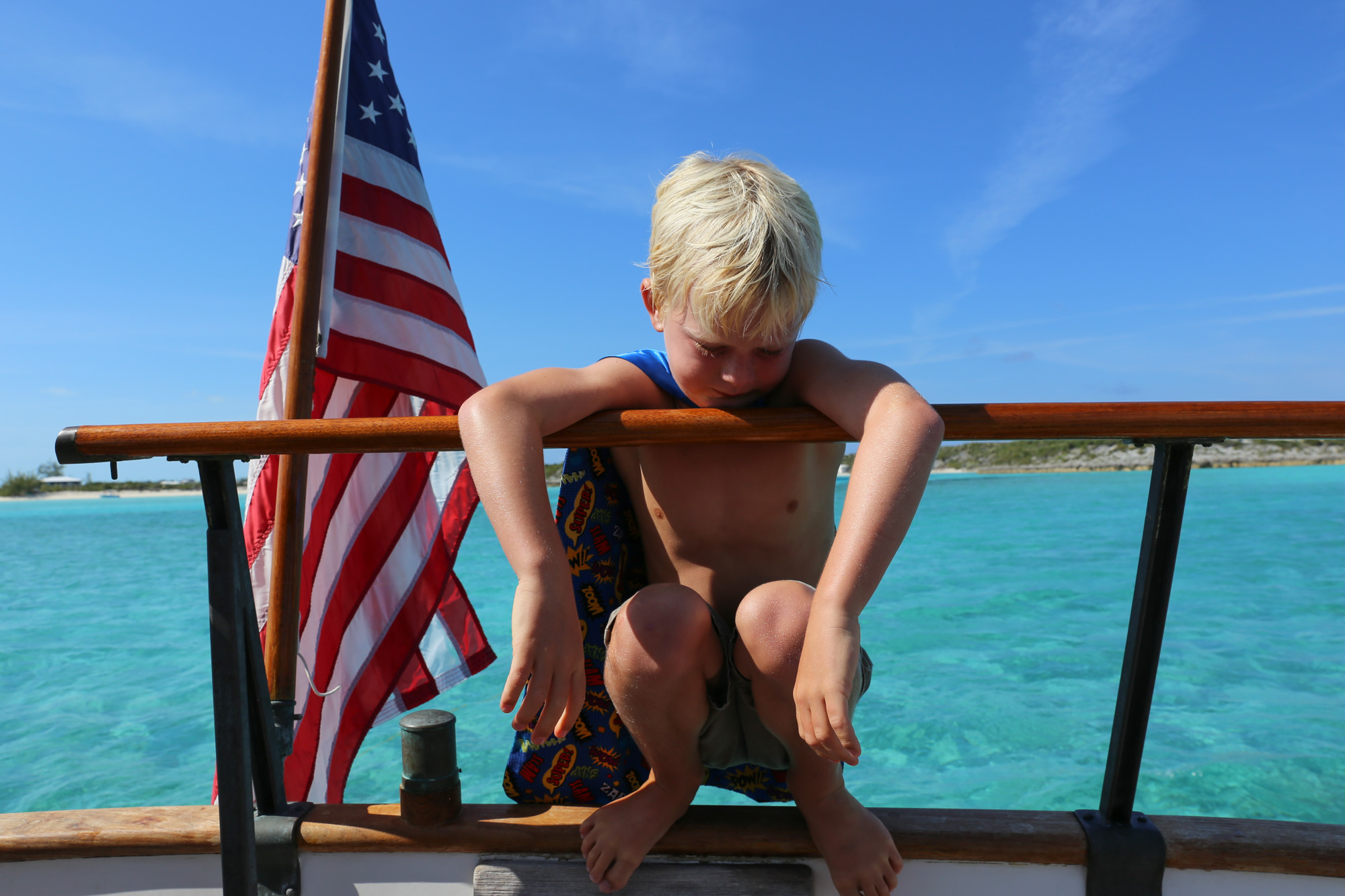
Lucha Libre.
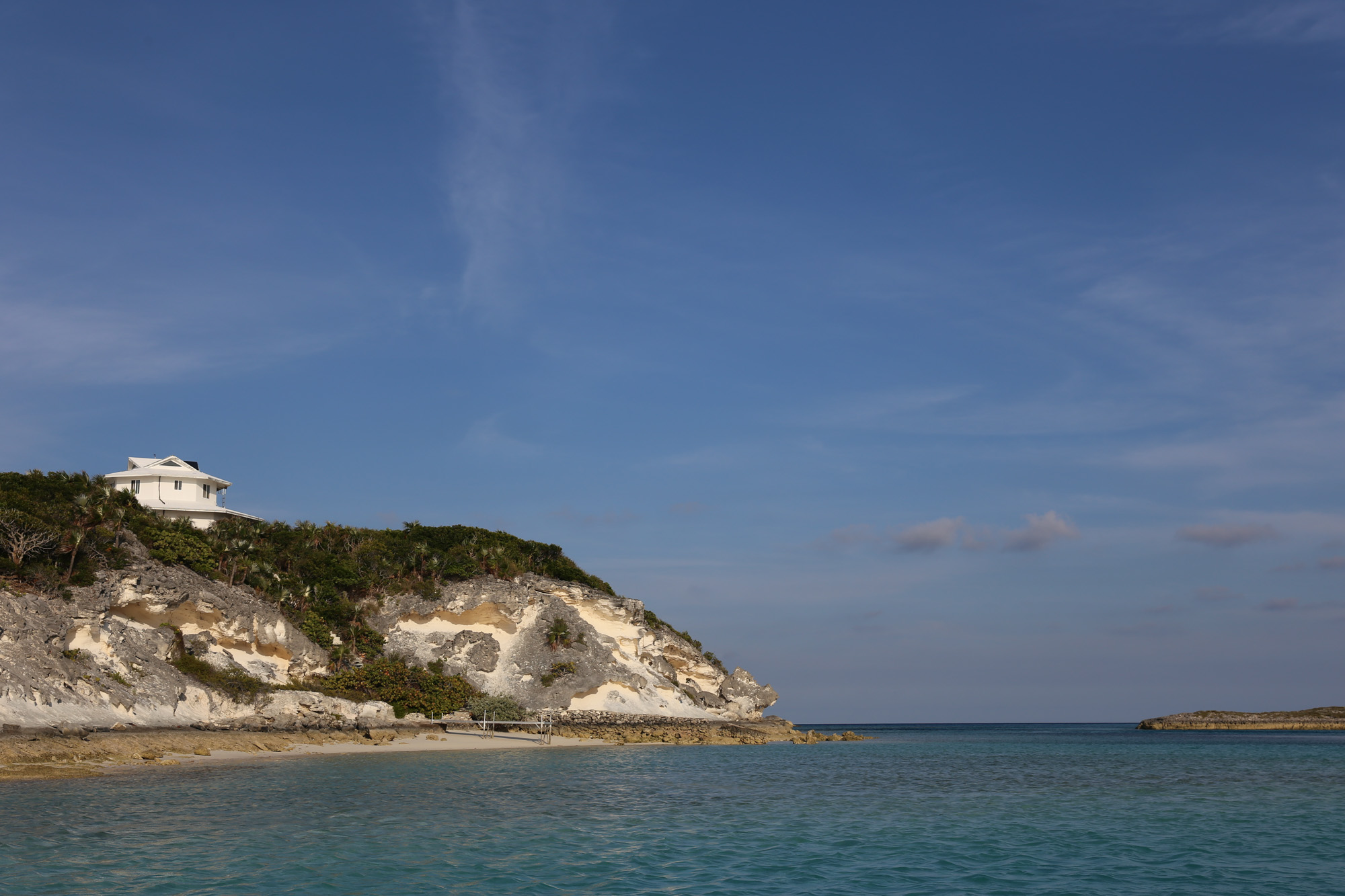
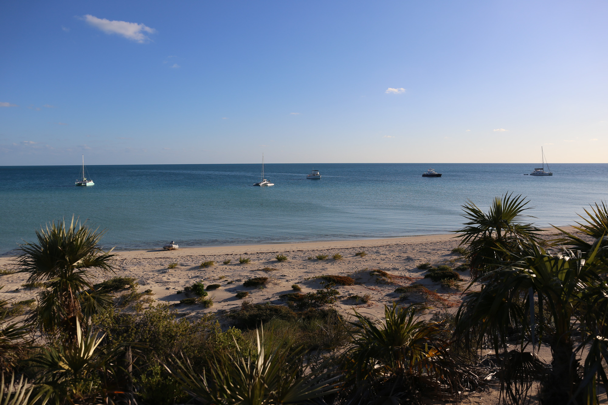
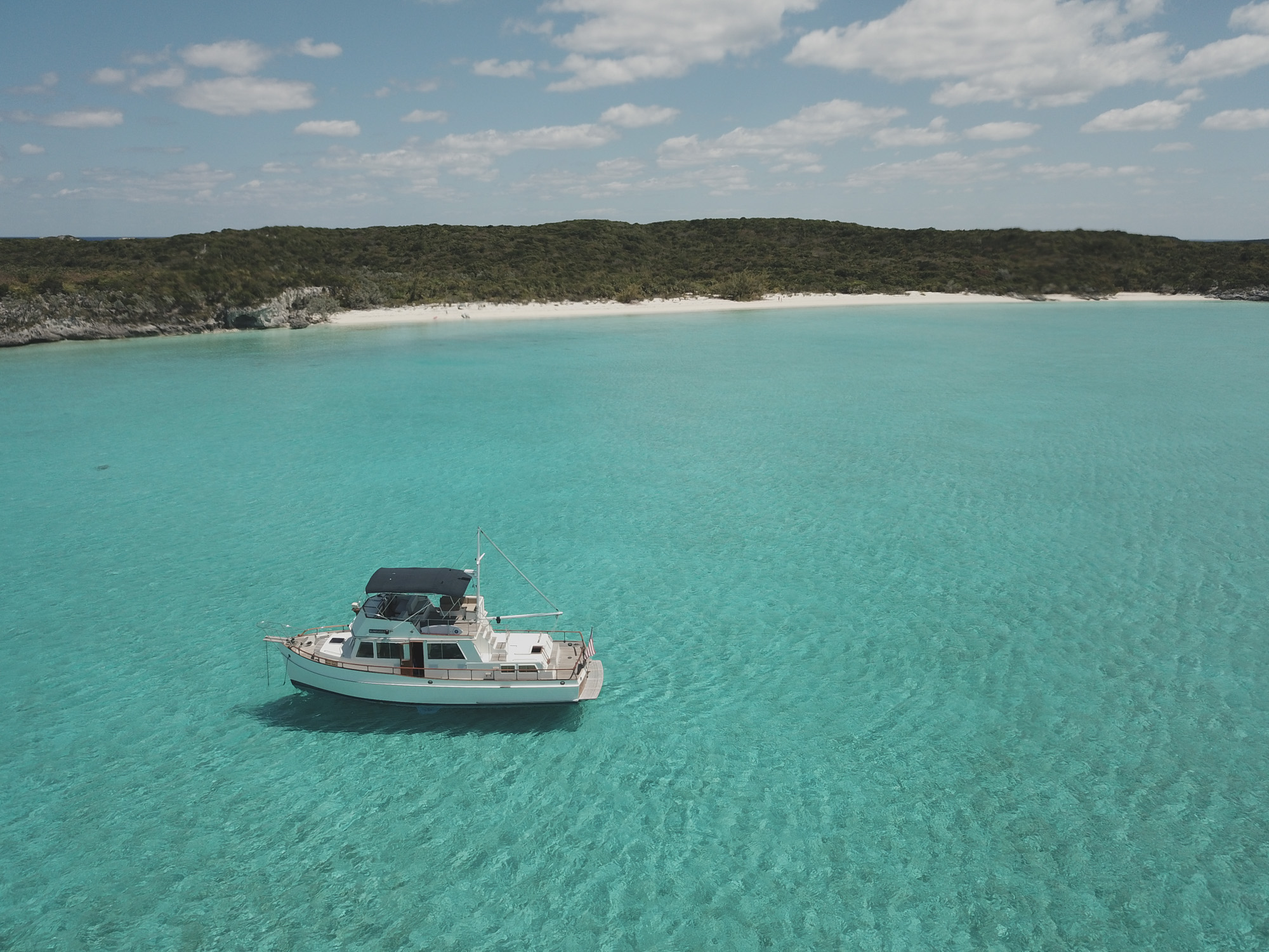
Some little bay around the corner from Black Point. One of the few places in the area to get protection from the north.
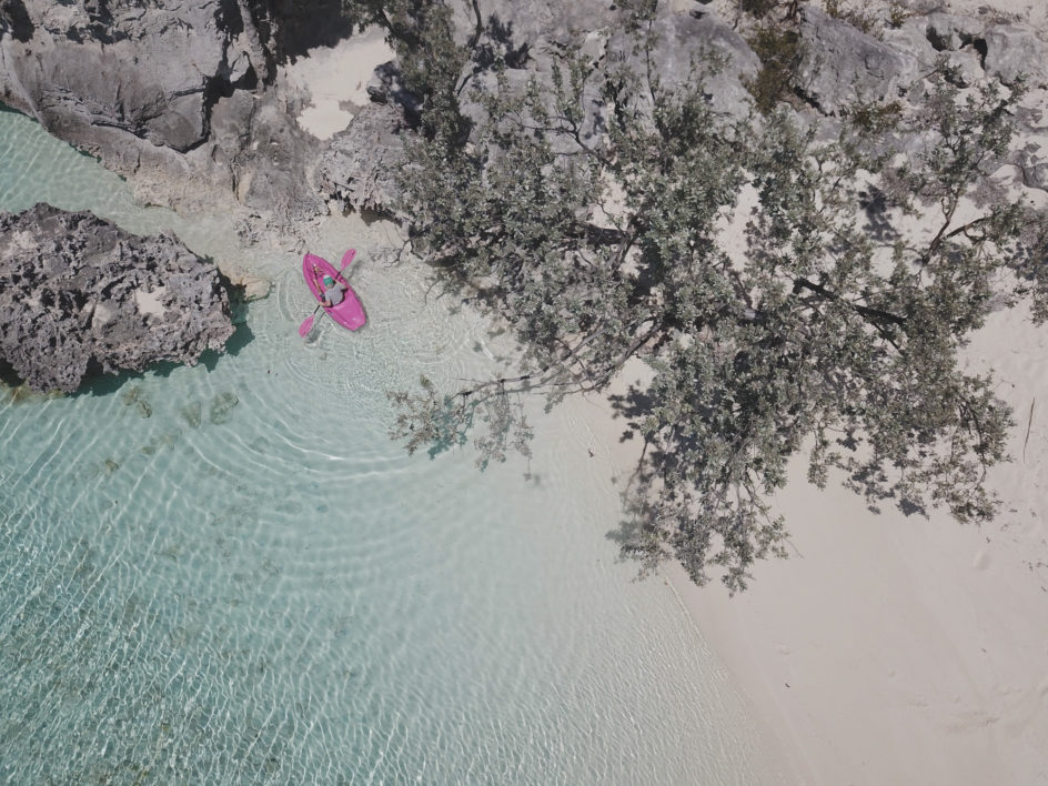
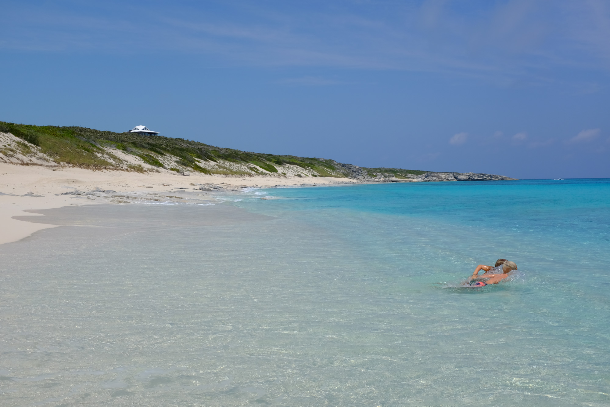
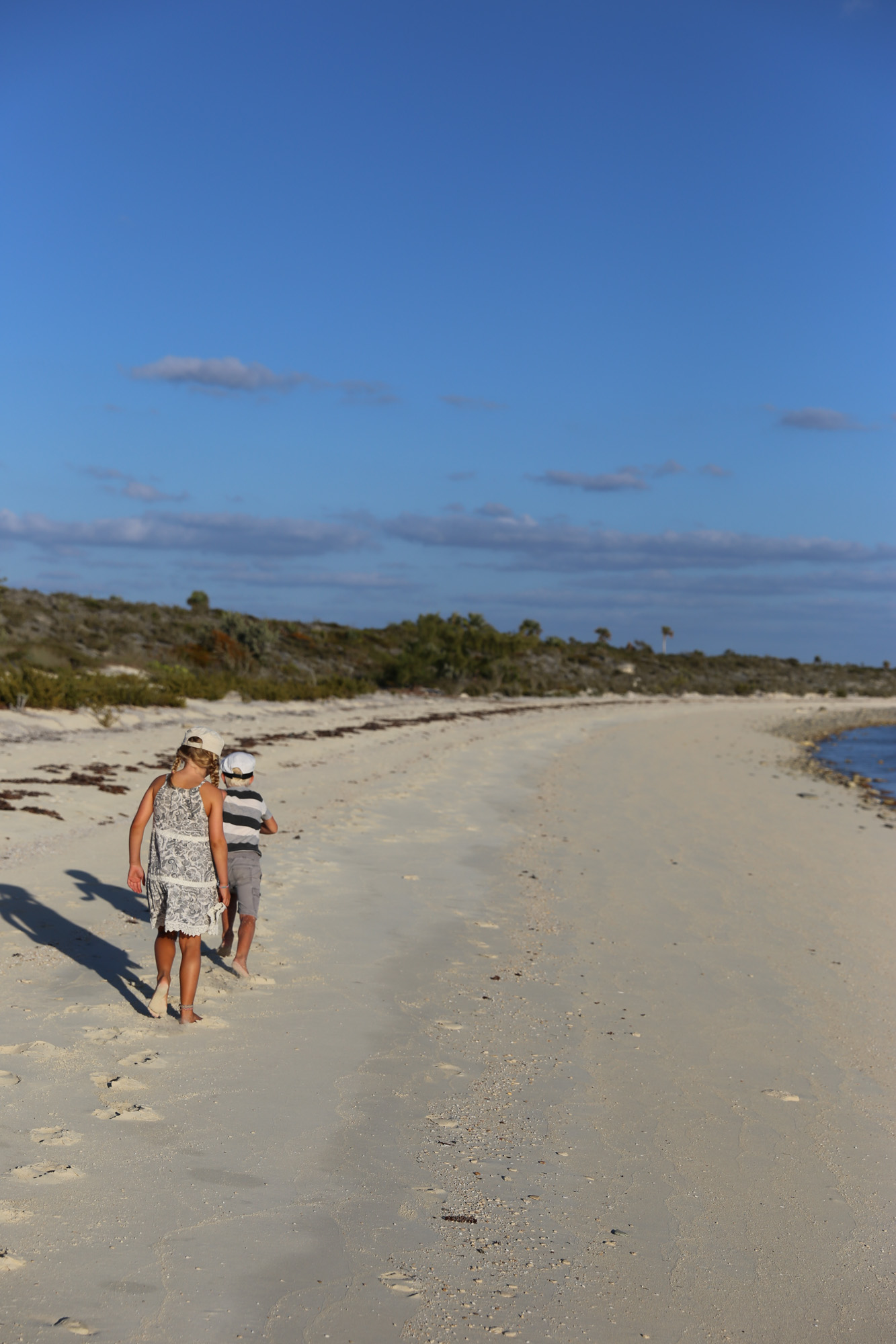
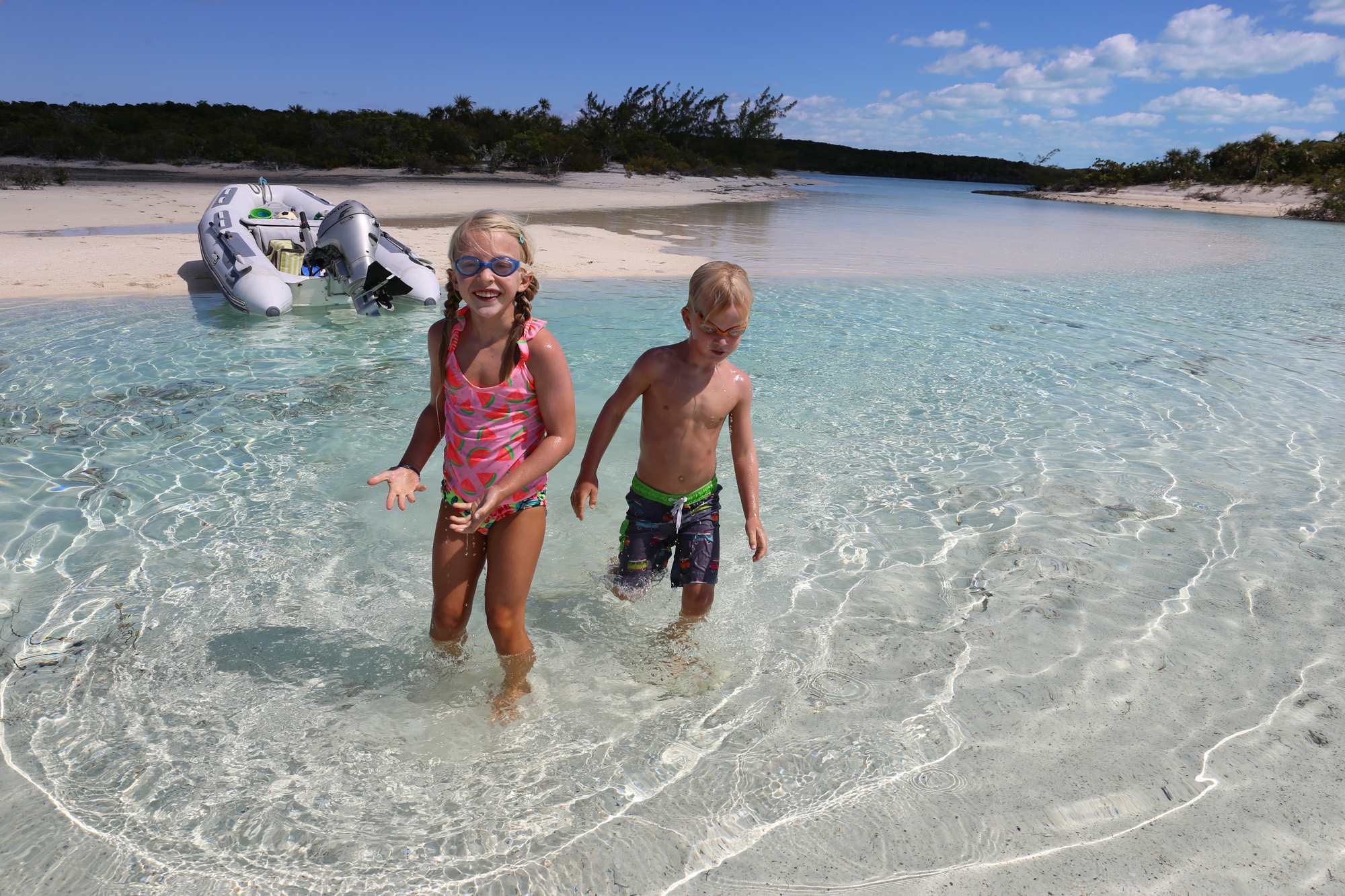
The beaches are always empty.
We draw 4′ 2″ in this boat, just 8″ more than our cat.
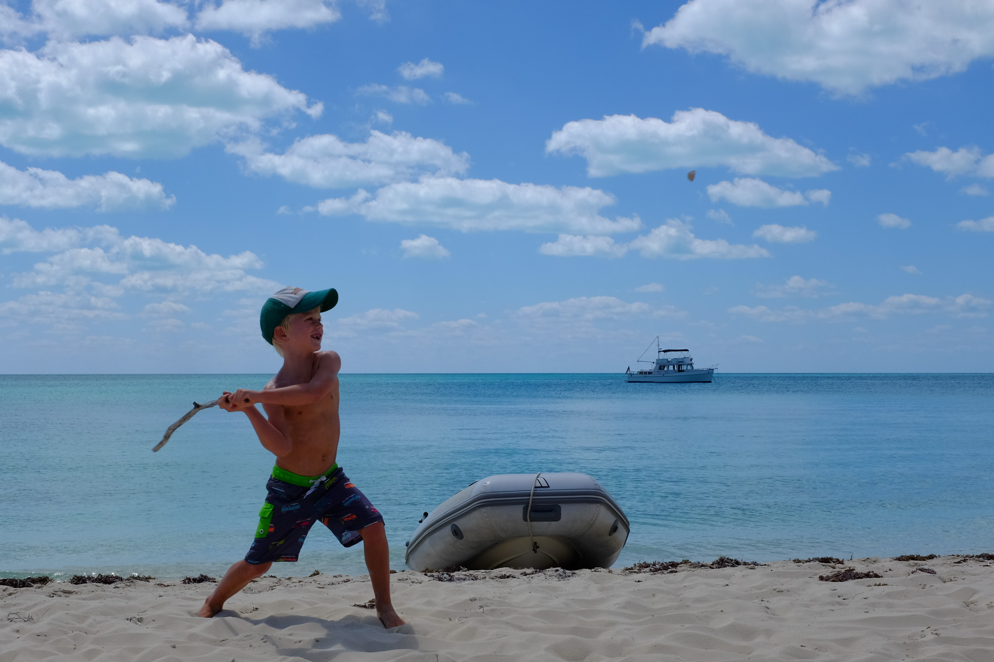
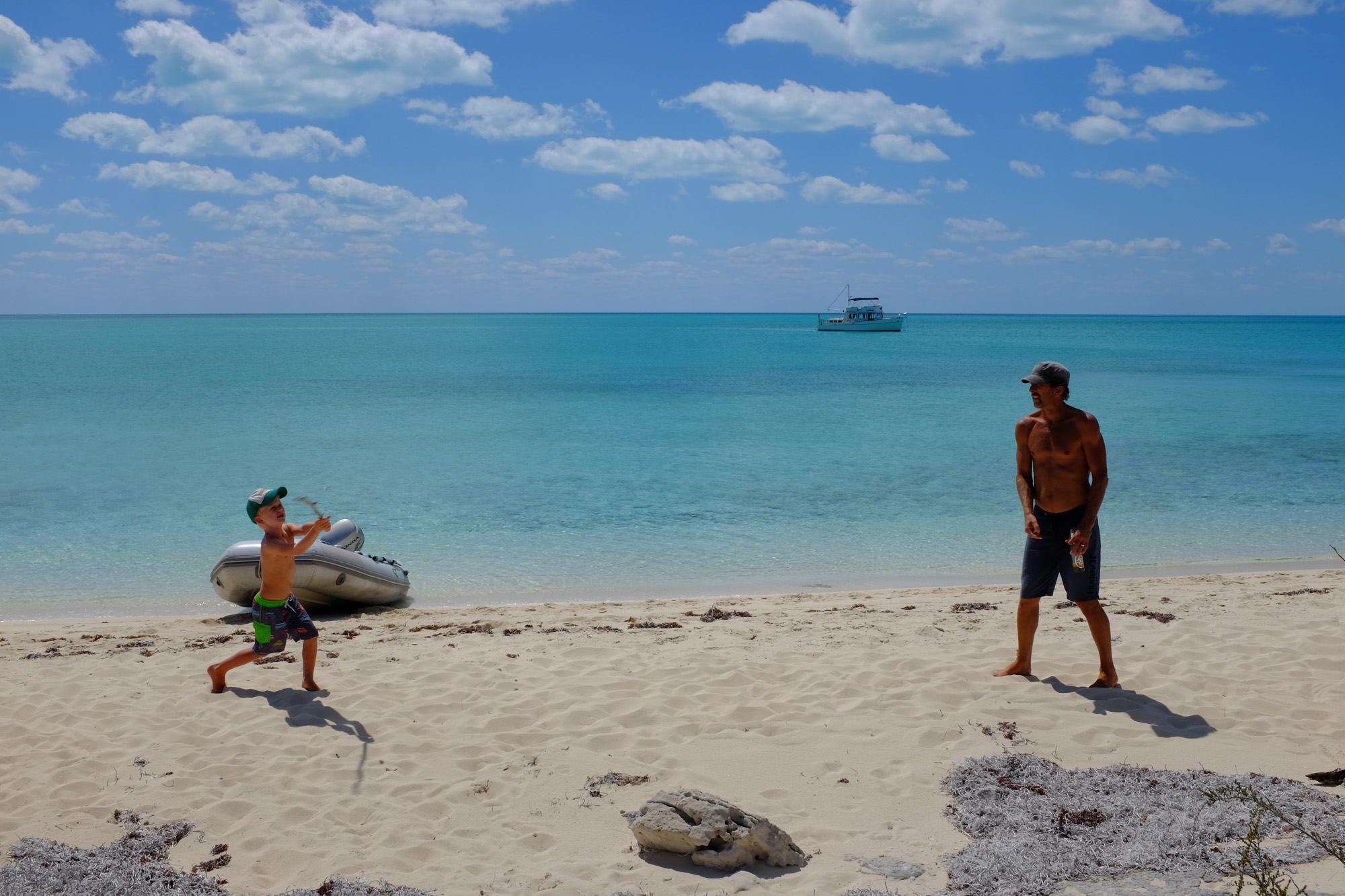
This was not thought through very well—stick, rock, batter, pitcher.
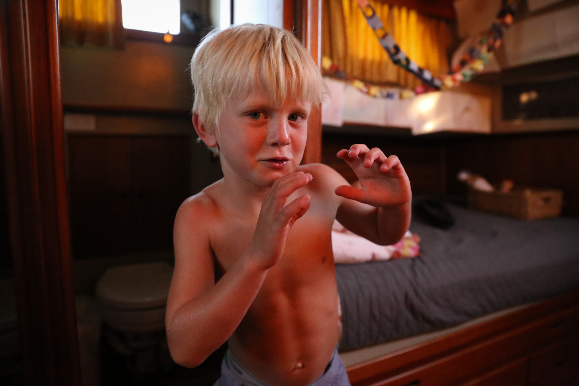
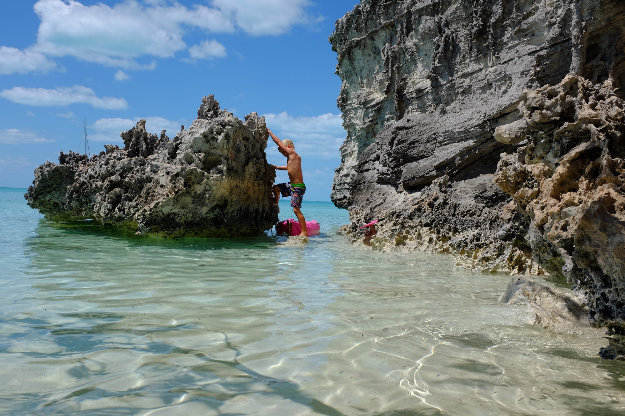
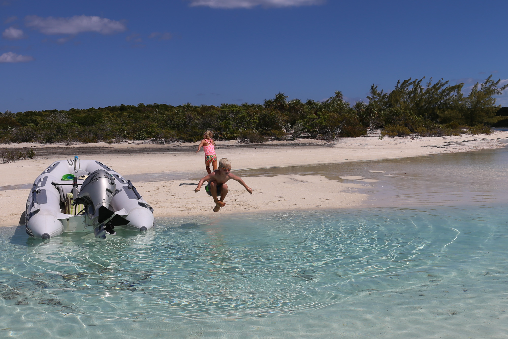
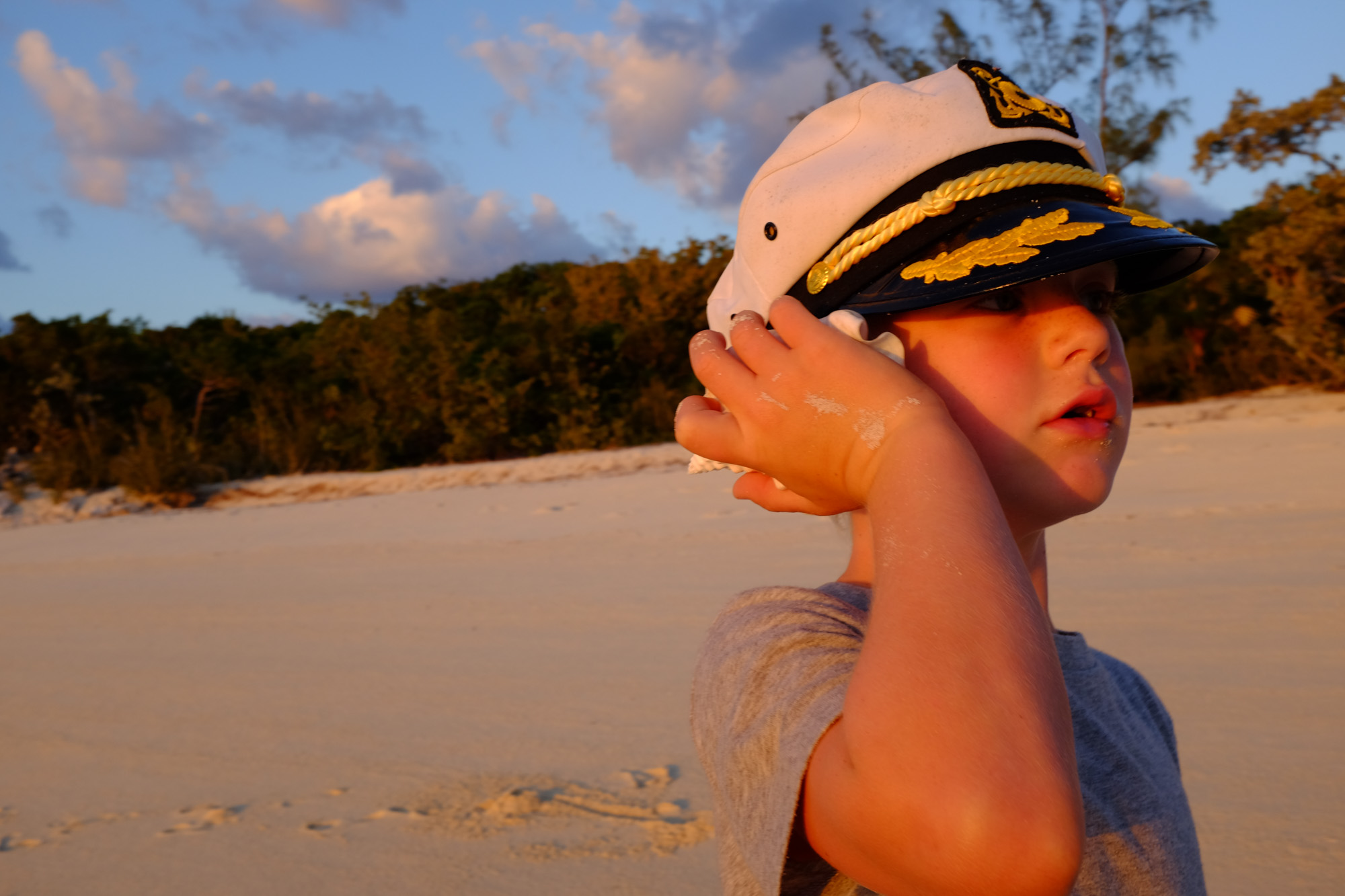
Always first in.


13 Comments on “Blue”
The drone definitely adds a great new point-of-view to your photography, Pat.
Kids and water. It’s a timeless ombination.
Well please give a little more information. I have an I pad but wonder what you using when you say.
“Garmin charts throughout the Bahamas. We just have an iPad with the free app, and a $50 set of charts”
Thanks in advance.
It’s Garmin Bluecharts free app, then I think the charts were about fifty bucks. https://buy.garmin.com/en-US/US/p/114005
For some reason, Garmin Bluecharts are no longer available. Perhaps, it has something to do with their purchase of Active Captain.
Once again, what beautiful photos! Thank you for sharing.
Bonnie from Canada where you in Australia about 25 years ago?
No unfortunately, I have never been to Australia.
Have you seen or used Ovital? Downloads to an Ipad or Tablet from the website. Shows your position on Google Earth, can be used offline, after “downloading” the areas where you want to navigate. It’s a Chinese program so the help file is not much use, you have to work it out yourself, I’m sure you are capable and can do it. Google Earth on OpenCPN is similar but has more extra features, but on a PC or laptop.
Wonderful photos! It looks like heaven where you are. The kids look like they are having a total blast.
Love your blog, please change email address to Katygross642@gmail.com. Thanks
Love checking in with what and where you guys are and doing.Puts some spice into this old Marines current life. I made a world cruise at the tender age of 18 year old on the Aircraft carrier USS Midway CVA 41 as one of the 48 member Marine Detachment. Even took part in the Operation “Pull out in the south China Sea”, when the Nationalist Chinese were being killed when the communist chinese took over and killed millions of their people that wouldn’t give up their freedom and convert to communism. What could be transfered of the NATIONALIST to an Island called formosa. Renamed now.Big difference on how you guys made your world cruise on your Cat when you got back to Fla.
What kind of Drone did you get? Hope its water proof!